On the device
B4UFly in the field
Cross-platform on iOS & Android. Click any screen to enlarge.


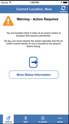
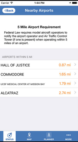
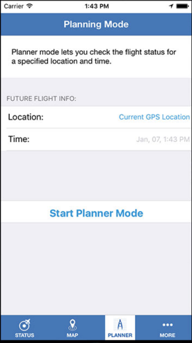
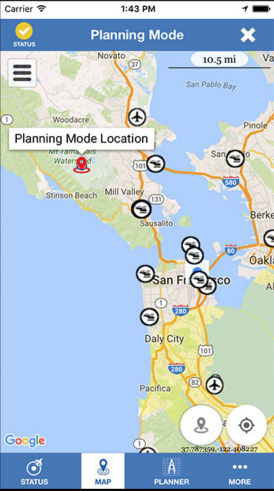
Before a drone leaves the ground, one question matters: can I fly here? B4UFly, built for the FAA, gives unmanned-aircraft operators a clear answer — instantly checking whether airspace restrictions or requirements are in effect at a chosen flight location.
No sectional-chart decoding, no guesswork — just check your spot and know instantly whether the sky is open.
No restrictions in effect at this location. Fly responsibly and stay within the rules.
Airspace restrictions or requirements apply here — authorization is needed before flight.
B4UFly translates the aeronautical chart every pilot has to reckon with into plain, at-a-glance guidance.
Drop a pin or use your current position for the spot you plan to fly.
B4UFly pulls the airspace, restrictions and requirements for that location.
Get a clear status — and the requirements to meet before you launch.
Assess any location by pin or current position in seconds.
See the airspace classes and boundaries around your flight spot.
Know exactly what's in effect — and what's required to fly.
A plain go / no-go answer, not a chart you have to interpret.
Developed for the Federal Aviation Administration.
The same trusted check on every operator's phone.
Cross-platform on iOS & Android. Click any screen to enlarge.
A cross-platform Xamarin.Forms application delivering trustworthy, location-based airspace guidance to unmanned-aircraft operators on iOS and Android.